


Sint Maarten and Saint Martin are two nations on one island: One is part of the Netherlands, the other one is part of France.
The Caribbean island of Saint Martin had been inhabited by the Amerindian peoples for many centuries, with archaeological finds pointing to a human presence as early as 2000 BCE. These people most likely migrated from South America. The earliest identified group was the Arawak people who settled the island around 800-300 BCE. Around 1300-1400 AD they began to be displaced with the arrival of the more warrior Carib peoples. Columbus discovered the island in 1493 and named the island in honor of Saint Martin of Tours. Nominally Spanish territory, the island became the focus of the competing interests of the European powers, notably France, Britain and the Netherlands. Meanwhile the Amerindian population declined rapidly due to European introduced diseases to which they had no immunity. The Dutch built a fort (Fort Amsterdam) in 1631 and the Dutch West India Company began mining salt. In 1633 the Spanish captured St. Martin and drove off the Dutch colonists. In 1648, the Spanish abandoned the island. With Saint Martin free again, both the Dutch and the French established settlements and in 1648 both countries signed the Treaty of Concordia which divided the island between them. From 1648 to 1816 conflicts changed the borders sixteen times. The entire island came under effective French control from 1795 until 1815, after which there was a peaceful settlement.
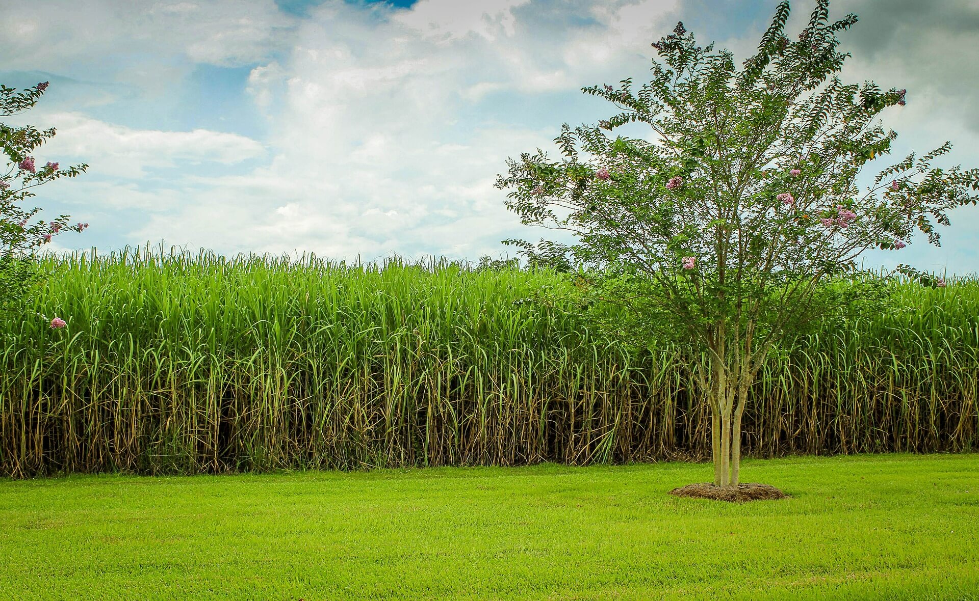
In the 18th and 19th centuries both nations had cotton, tobacco and sugar plantations and the French and Dutch began importing African slaves who soon came to outnumber the Europeans. The slaves staged rebellions and in 1848 the French abolished slavery in their colonies including the French side of Saint Martin. The local Dutch authorities then freed their colonial slaves and in 1863, the Dutch abolished slavery in all of their island colonies. In the 20th century, plantation culture declined and the island’s economy suffered. In 1939 the island was declared a free port which boosted the economy and in the 1950’s tourism began to grow. In 1994, the Kingdom of the Netherlands and France signed the Franco-Dutch treaty on Saint Martin border controls.
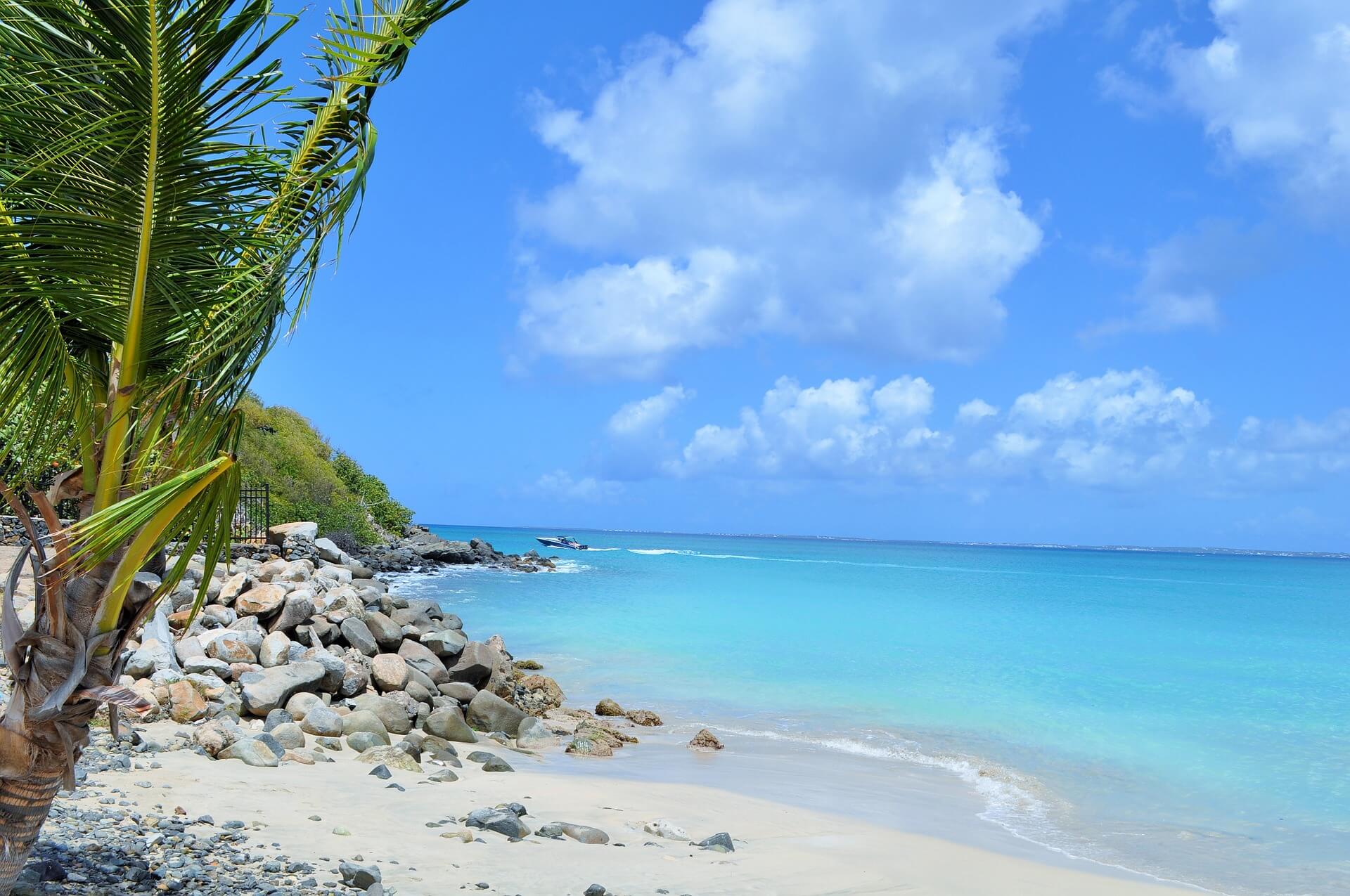
The island’s population is about 40,000 Dutch side and 35,000 French side. The total area is 33 square miles with 60% French and 40% Dutch. Saint Martin is part of the Leeward Islands and located about 190 miles east of Puerto Rico. The topography is hilly with the highest point 1400 feet on the French side. The island has no rivers but has dry gullies and dry forests on the top of hills. Saint Martin is south of the British island of Anguilla and northeast of the French island of Saint Barthelemy. It enjoys a tropical savanna climate and has a dry season running from January through April and a wet season from August through December. It lies in the hurricane zone and recently had a hurricane (Hurricane Irma) which damaged most of the buildings on the island.
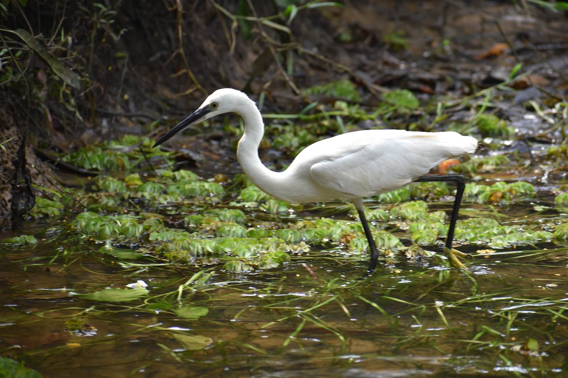
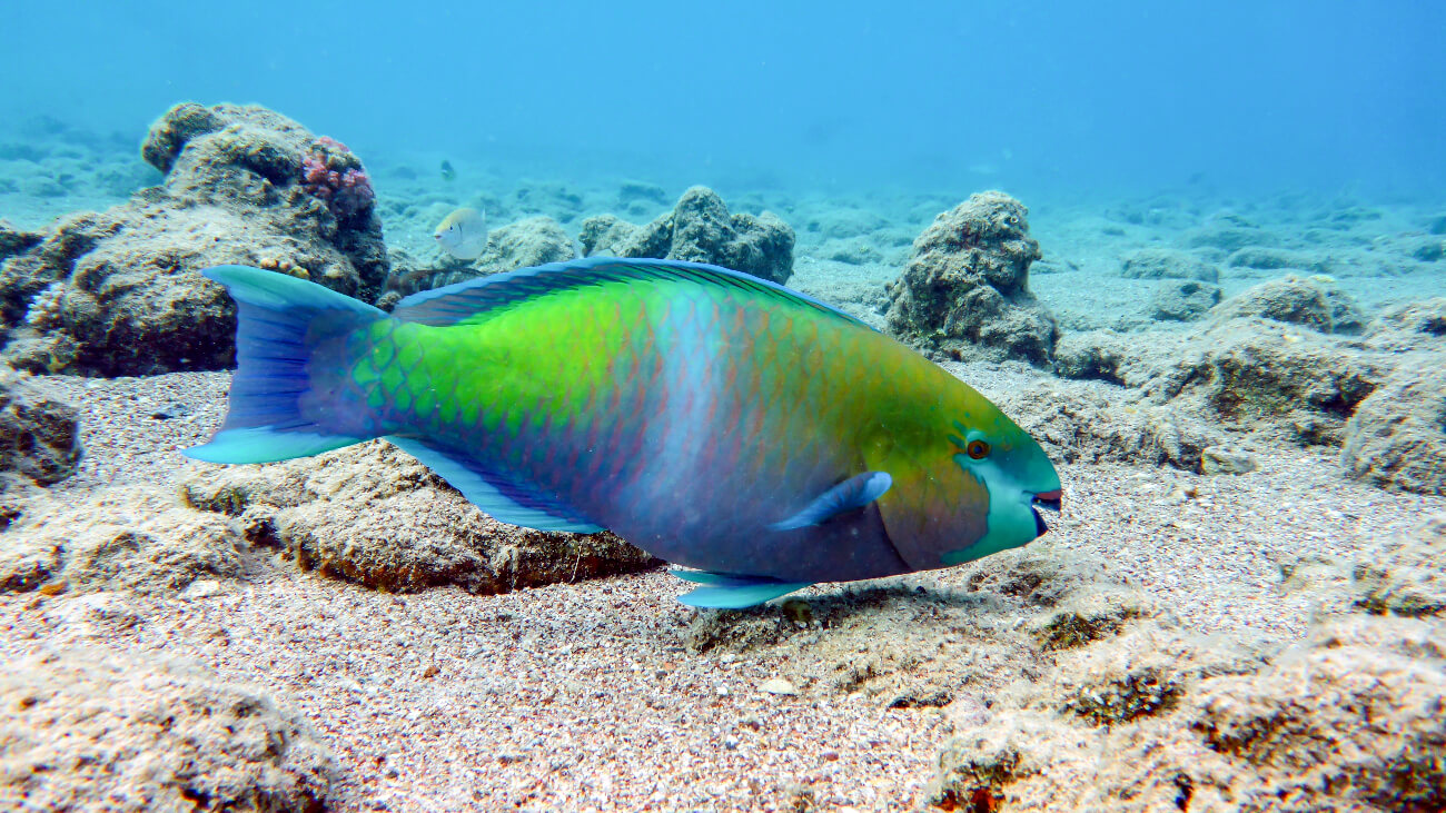
Flora include cacti, flamboyant trees, hibiscus, mahogany, bell pepper, bay rum trees, West Indian holly and mangrove trees. The main species on the island are the National bird, the Brown Pelican, Loggerhead, Leatherback and Green Turtles, Bottlenose Dolphin, Hammerhead Shark, Parrotfish, and Elkhorn Coral. There is a Nature Reserve on the east coast of the island.
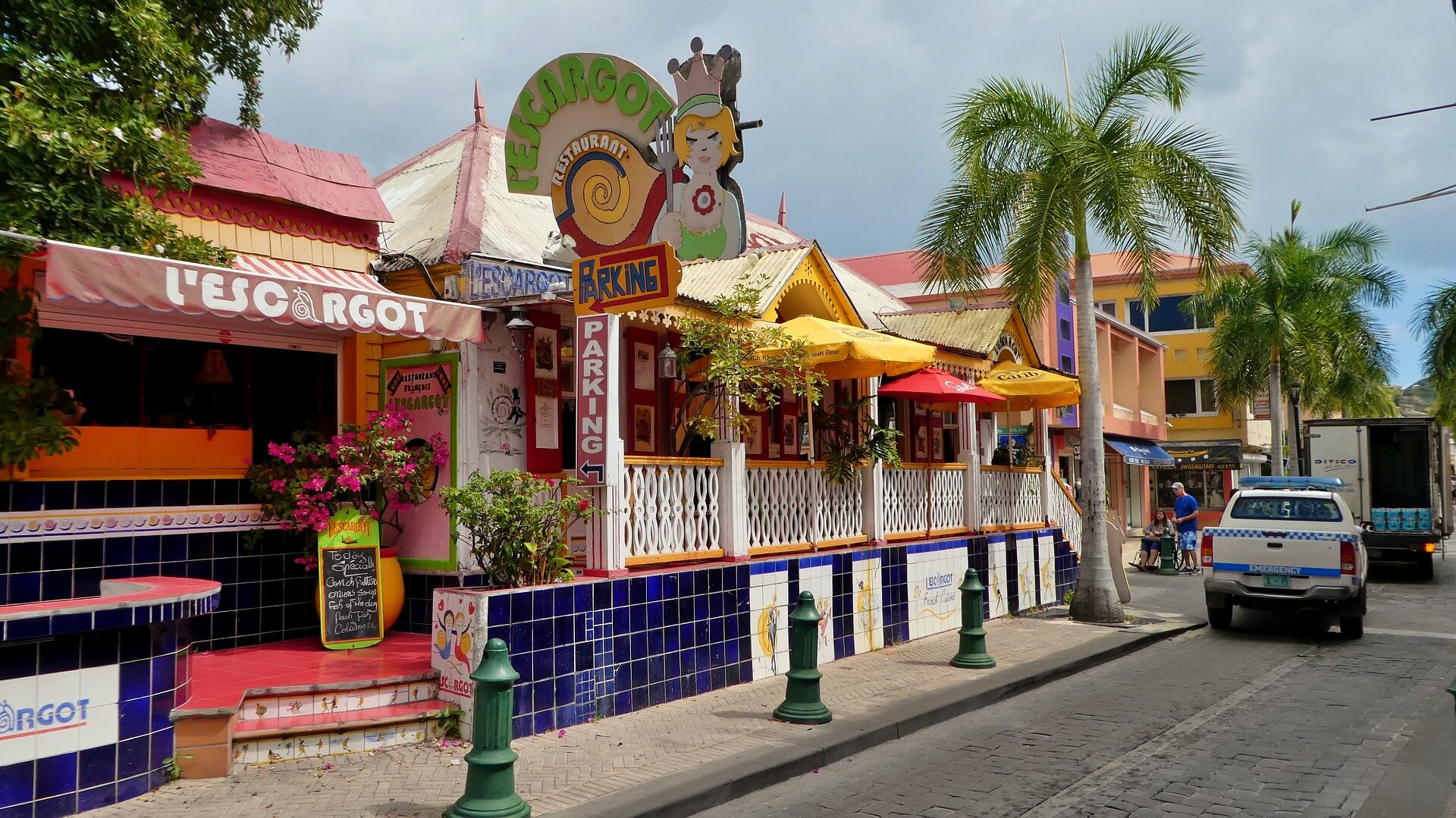
St. Martin’s Dutch side is known for its festive nightlife, beaches, jewelry. drinks made with native rum-based guavaberry liquors and casinos. The French side is known for its nude beaches, clothes, shopping and French and Indian Caribbean cuisines. The official languages are French for Saint Martin, and Dutch for Sint Maarten. English is the most commonly spoken language along with a local dialect. Public buses and rented cars are the primary mode of transportation for visitors.
Conch and Dumplings
Callaloo a soup
Johnny Cakes pancakes made with cornmeal
Locri rice, chicken, vegetables and seasoning
Whelk Soup Saltwater mollusks stewed in coconut milk
Crab Backs crabmeat stuffed in shells
Guavaberry Liqueur
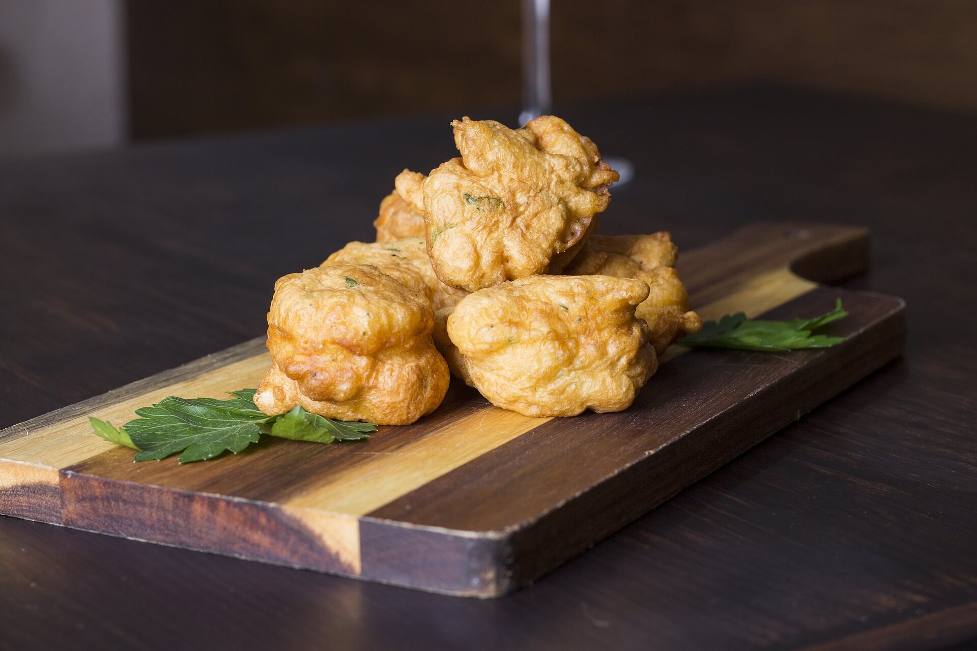
Codfish Fritters
St. Maartens Spare Ribs
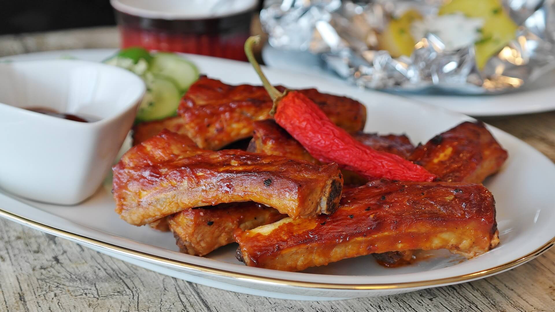
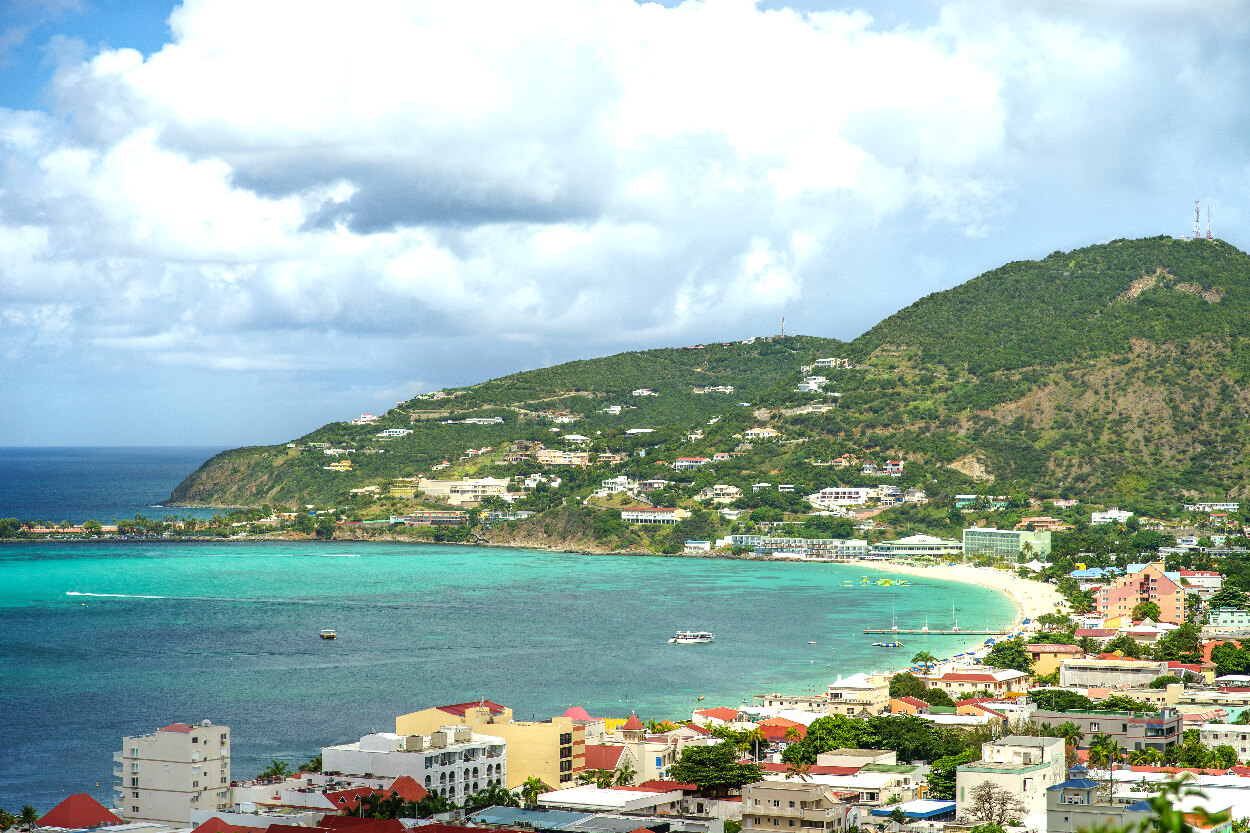
Great Bay Beach
Pinel Island
Little Bay Beach
Boardwalk
Orient Bay Beach
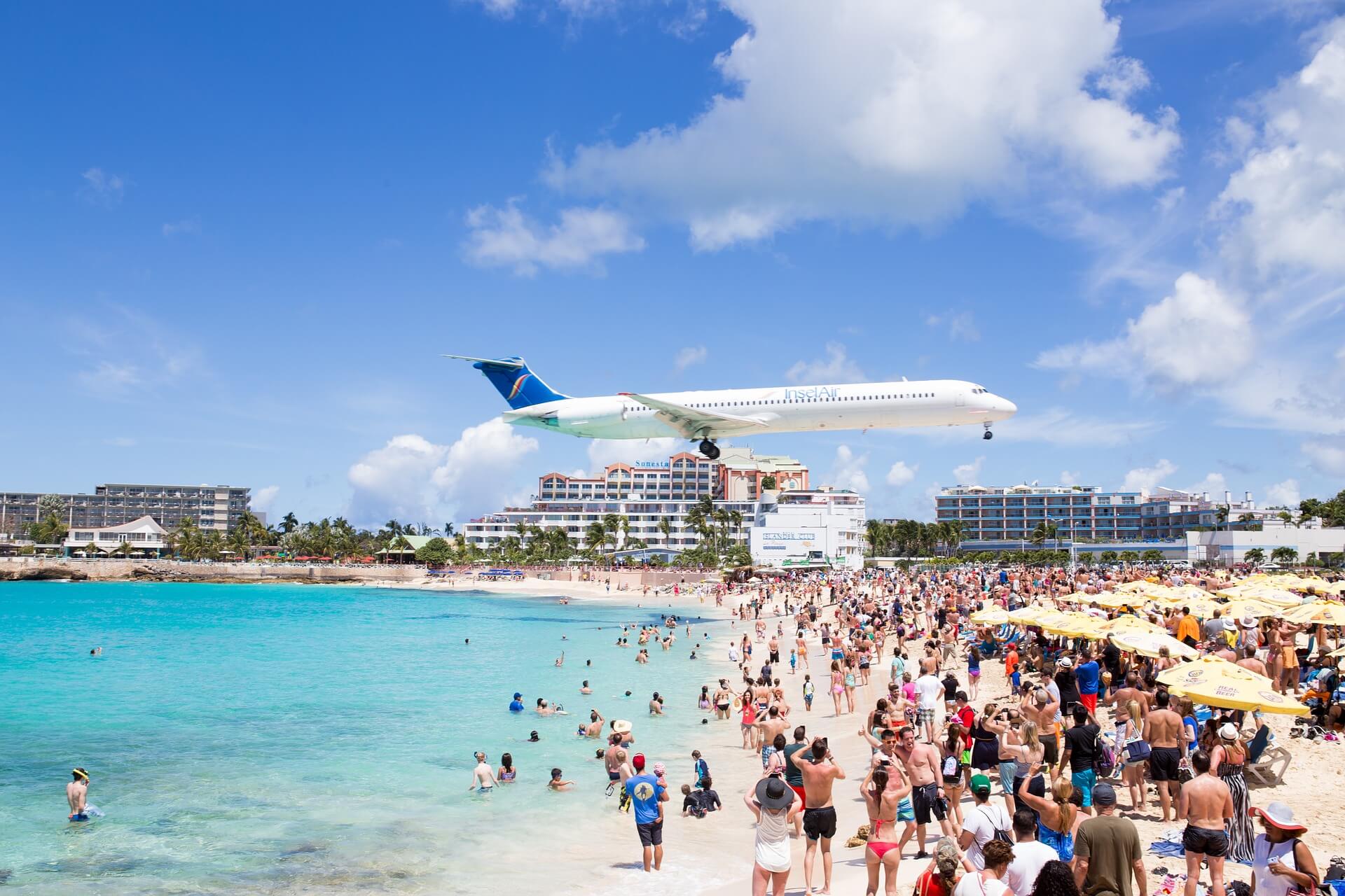
Maho Beach
Mullet Bay
Princes Port de Plaisance casinos
Front Street
Perrette Ville Bird Park
Guana Bay
Fort Amsterdam
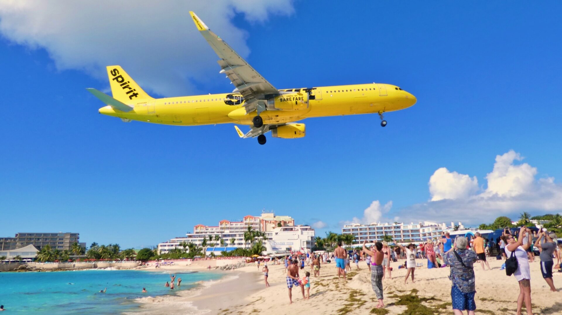
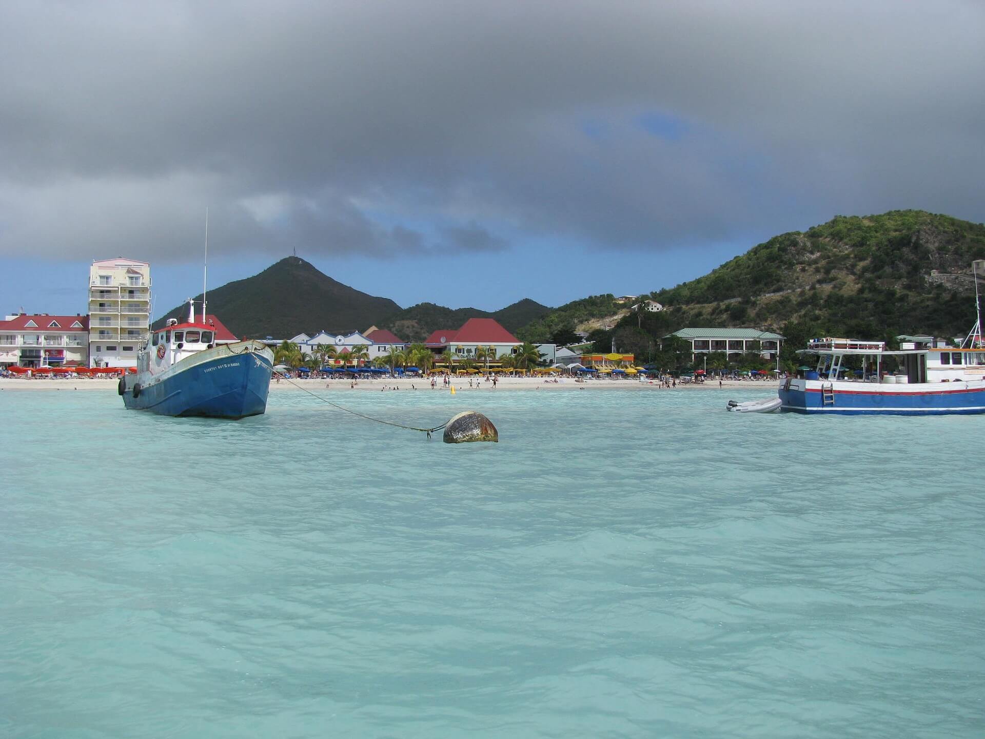
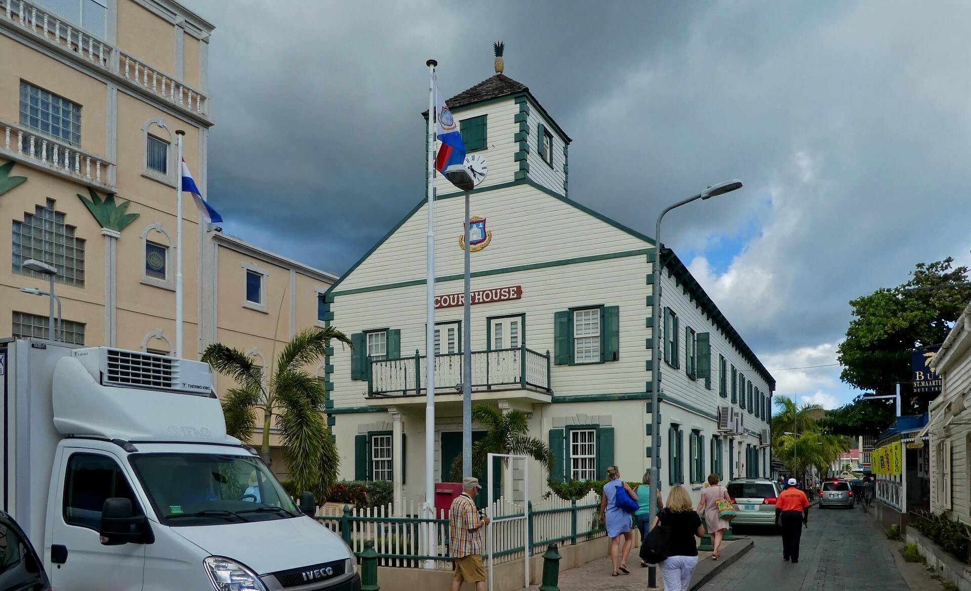
Sint Maarten is a constituent country of the Kingdom of the Netherlands in the Caribbean with a population of 40,000 on 13 square miles. Sint Maarten is on the southern part and encompasses 40% of the island. The Dutch capital is Philipsburg and this and the other Dutch islands in the Caribbean are called the Dutch Caribbean. In 2010 it became a constituent country making it an equal partner of Aruba, Curacao and the Netherlands proper. Large cruise ships brings numerous tourists and gambling casinos are around.
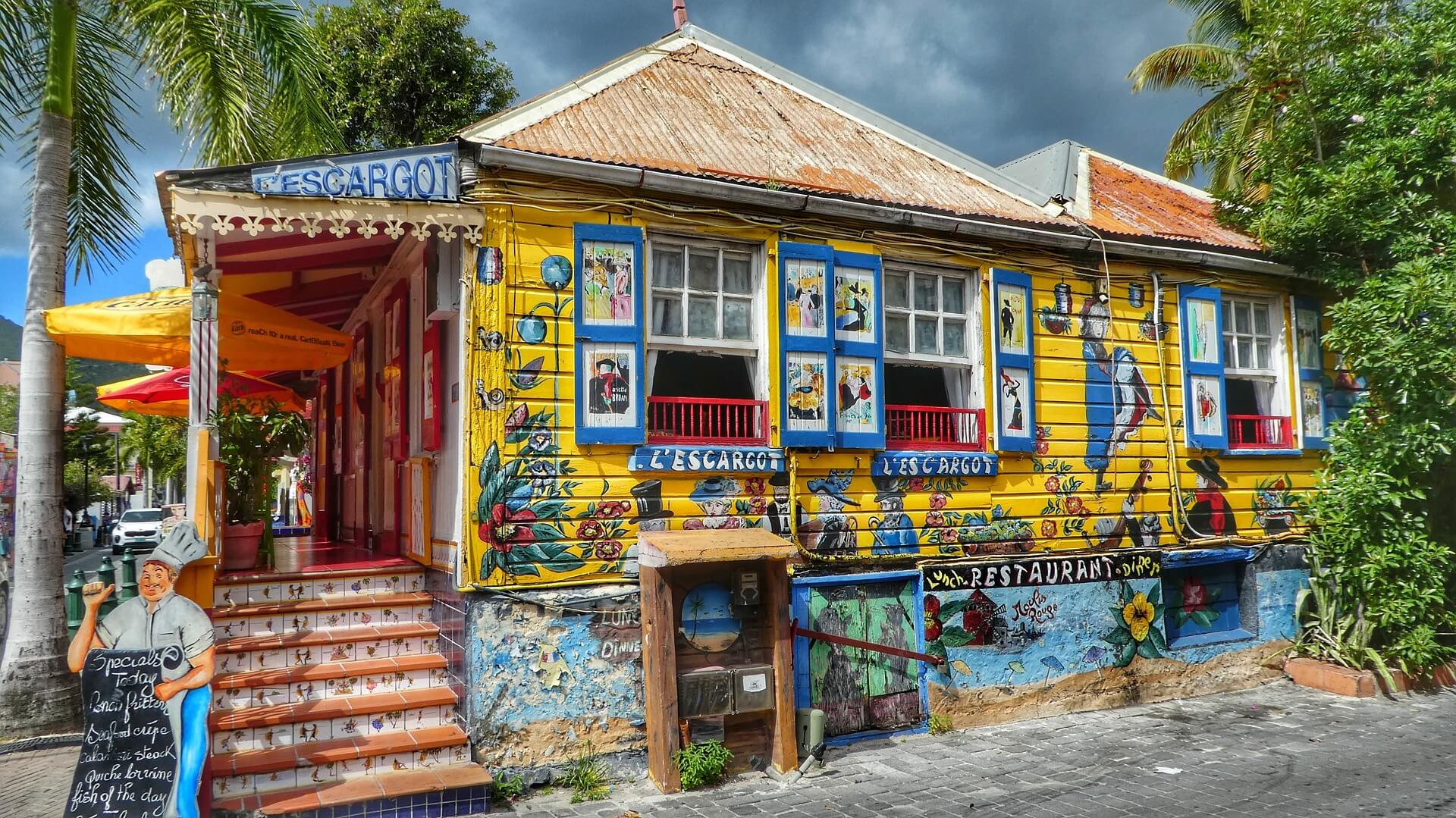
The Capital City: Philipsburg
Philipsburg, with a population of 2000, is the capital of Sint Maarten and the major commercial center of the entire island and one of the busiest ports in the Caribbean.
Saint Martin The French side of the island has 20 square miles and is less commercially developed than the Dutch side. It has more mountains and mountainous views and its restaurants serve authentic French cuisine. Its beaches are more secluded and nude bathing is allowed. Sailing is one great attraction. The French side is an Overseas Collectivity administered by France.
The Capital City: Marigot
The capital city of the French side is Marigot. The village, which is now a city of 6000, was founded in 1689 to protect shipping. Fort Louis was constructed in 1789, and is the only remaining military monument on the French side.
No Tour Found
No Tour Found